UAV MINING: DIGGING INTO LIDAR
Webinar Replay
Drones are becoming a key tool in mining operations. Learn how you can achieve more safety, efficiency and accountability by adding Microdrones surveying equipment into your mining work flow. From surveying mines efficiently, to measuring material, Microdrones integrated systems plan, fly, process and visualize your assets.
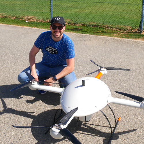
Join Jaume Cazorla, the Microdrones Regional Manager for the Middle East as he reviews a Coal Mining Case Study where the customer used the Microdrones mdLiDAR1000 to calculate the volume of soil dump more efficiently.
In this one-hour webinar we will cover:
Jaume Cazorla
Jaume is the Middle East Regional Manager and a Geomatics Engineer at Microdrones who has 6 years of experience in geomatics engineering operations. He is skilled in managing survey teams, 3D modeling, mobile mapping, geodetic network specialist and UAV photogrammetry. At Microdrones he supervises project timelines, develops techinal projects and support and ensures smooth workflow and communication between departments.
Prior to working at Microdrones, Jaume was the Geomatics Project Manager at Navmatica Corporation.
Bret Burghdurf
Bret Burghdurf is the Microdrones Director, Marketing Americas and New Markets and has an extensive background in advertising, sales, and communications.
Bret has more than twenty years of experience in marketing, communications, creative services and sales and joins us from a regional advertising agency where he was most recently Media Director. At Microdrones his role is to help manage and develop their marketing platform with geographic responsibility for the Americas. In addition, he collaborates with the business development team to conceive, plan and execute initiatives that support our expansion into new markets.
COPYRIGHT MICRODRONES® | ALL RIGHTS RESERVED