
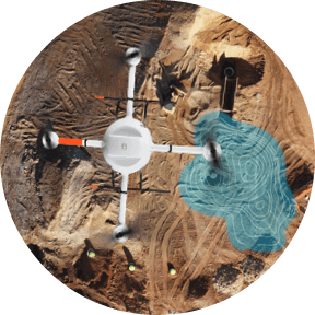
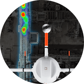
Surveyors are now making drone surveying equipment a necessary tool in their toolbox for a number of important applications such as aerial surveying, mapping, and other geospatial applications.
If you or your Surveying business is thinking about adding drone
surveying equipment to your workflow, complete this form for access
to all of our user showcases.
You can learn how Microdrones Integrated Systems make it easy for Surveyors to collect data efficiently and safely while cutting costs, saving time, and converting data into useful information. We have over 15 User Showcases, highlighting case studies, customer testimonials, and many other drone surveying application articles for your review.
We’ll also be regularly adding more user showcases to our files, so check back often. Or, if you have a unique Microdrones case study you’d like to feature, contact your regional manager and tell us about it.
![]()
COPYRIGHT MICRODRONES® | ALL RIGHTS RESERVED