![]()

![]()
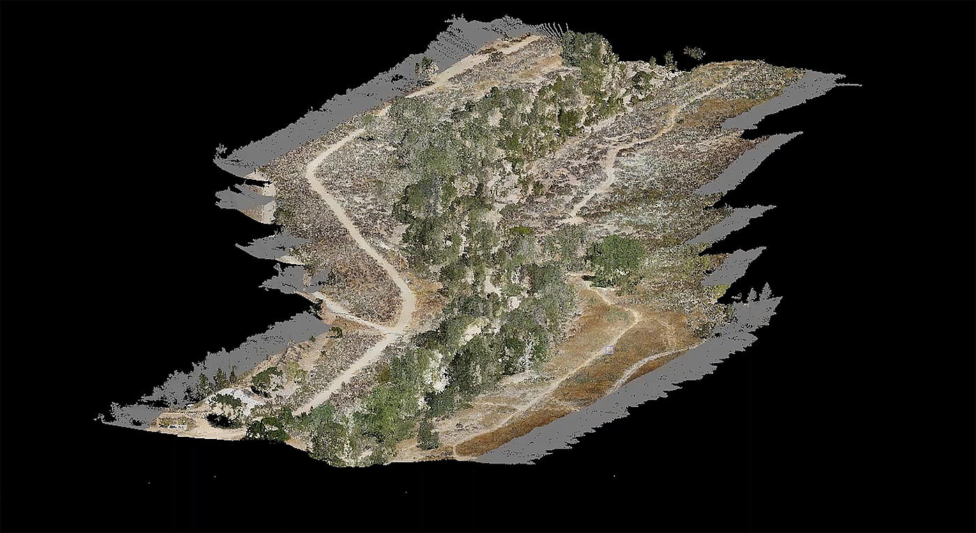
Microdrones integrated systems with high-resolution sensors such as cameras or LiDAR systems are a cost-effective and time-saving option to create powerful data deliverables. Some examples include tracking volumes and stockpiles, on-site inspections, the creation of digital terrain models, mass detection in quarries or gravel pits and more accurate project estimates. UAV systems also make surveying safer and more efficient, especially when it comes to rough or dangerous terrain.
Tell us more about yourself, your company or your organization and what you want to achieve with drones.
I will be happy to contact you to provide you with the information you need.
Thank you for your interest in Microdrones!
Kind regards,
Abdel Diani

Microdrones develops and provides complete integrated systems and a custom workflow to capture the data you need:
Plan / Fly / Process / Visualize
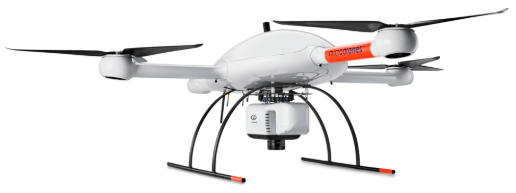
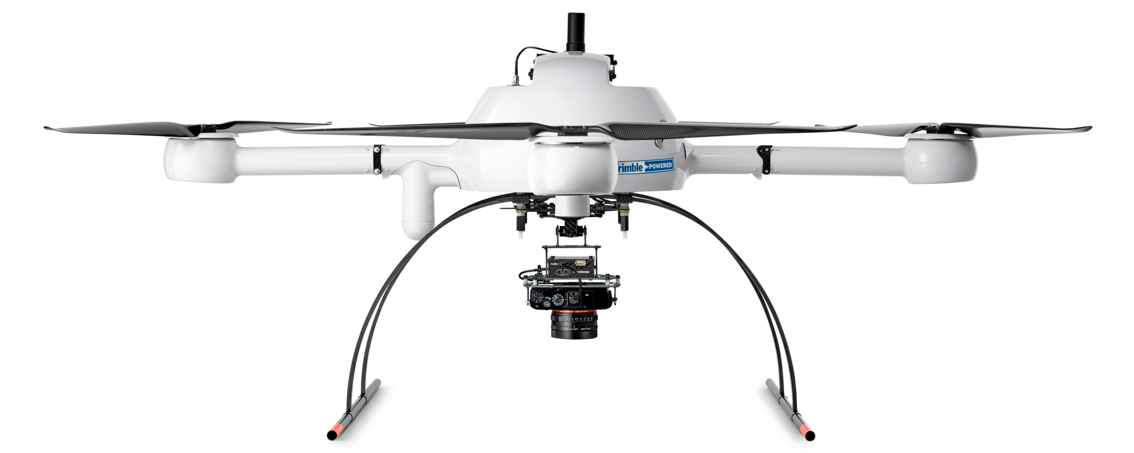
Our mdMapper and mdLiDAR packages combine industry-leading UAVs with payloads specifically designed for industrial applications such as surveying, mapping, inspection, construction, mining, volume measurement and precision agriculture.
These packages are complete solutions that include aircraft, sensors,
accessories, custom mounts and even an Android tablet app that
lets you plan, monitor, customize and analyze your jobs easily
and anywhere.
With fully integrated software, workflow, training, and support,
you no longer need predictions to get a perfectly integrated aerial
imaging solution that works flawlessly from start to finish.
Professional drone packages
Your UAV and everything you need together in one convenient package.
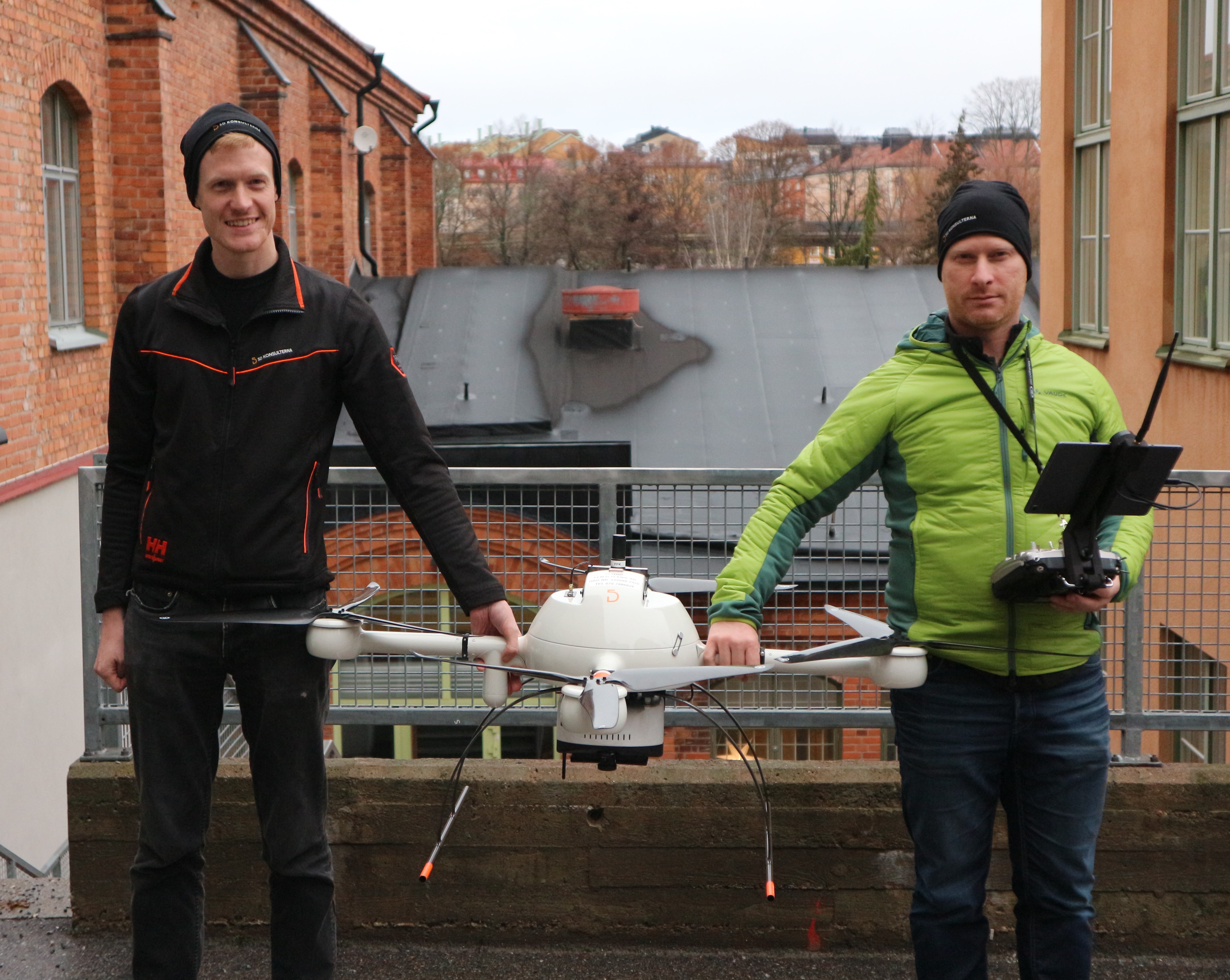
5D Teknik cooperates with drone manufacturer Microdrones, due to the many advantages that drones offer in the construction industry. Microdrones, founded in Germany in 2005 develops advanced surveying solutions for professional applications.