WHY USE DRONES FOR SURVEYING?
Surveying and mapping professionals are quickly turning to unmanned solutions to perform work better. Drones can help you to:
- Be more efficient and save time. Spend less time in the field collecting data.
- Stay competitive. UAVs are becoming an industry standard. Customers are asking for UAV surveying – smart companies are preparing to deliver. Providing UAS mapping services shows that a business is an industry leader in the forefront of technology.
- Be safer. Easily complete projects in areas that are difficult or dangerous to access – such as challenging terrain, crumbling structures, high locations, and areas affected by natural disasters.
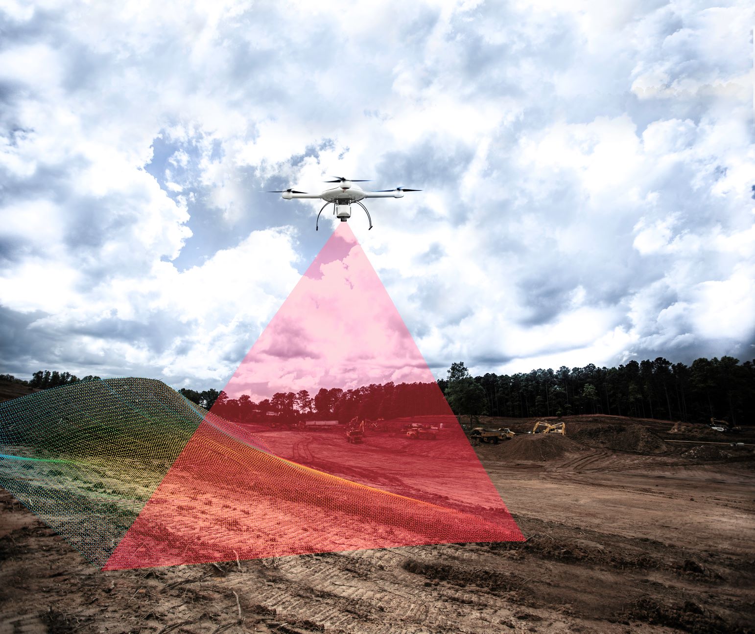
- Survey operating worksites. You’ll no longer have to stop work and equipment to collect the data you need.
- Expand your offering. By incorporating various payloads and technologies into your system, you can increase the number of services and deliverables you can provide for clients.
- Ditch the GCPs (while keeping the accuracy.) Achieve survey-grade accuracy with less time, less people, and less equipment. With Microdrones direct georeferencing (DG) mdMapper systems, you’ll no longer need ground control points.
- Slash your post-processing times. Our DG systems enable you to post-process data in a fraction of the time.