3 MINUTE DRONE SURVEYING CASE STUDY:
DRONES vs CAMPUS
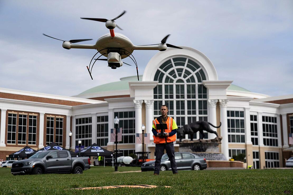
How Can You Use Drone LiDAR to Create As-Built Surveys
Traditionally, the documentation of As-Built construction surveys relied on conventional methods such as total stations and digital photogrammetry. However, the team at Spatial Data Consultants is using drone LiDAR technology to create accurate and precise As-Built Surveys. See how in this 3-minute case study videoC
Complete the form to watch this 3-minute case study
